
Literary Maps : Joseph Conrad Heart of Darkness - Litterär karta för din läsning!
115 SEK
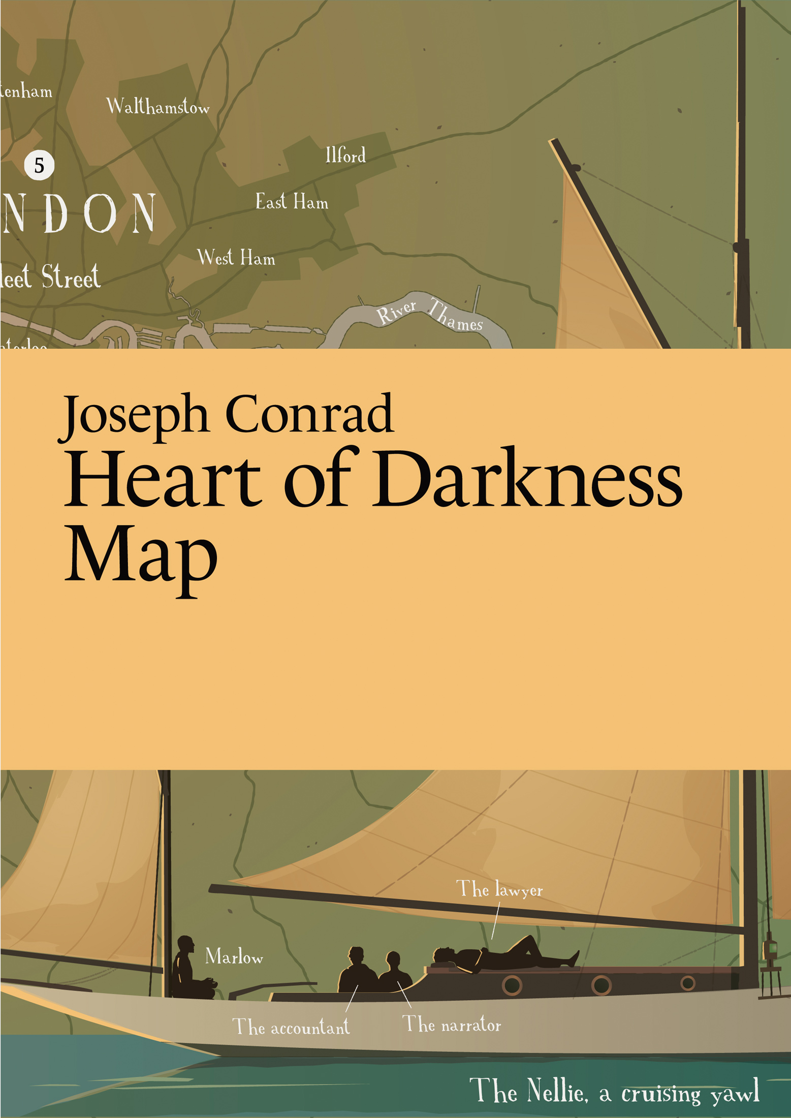
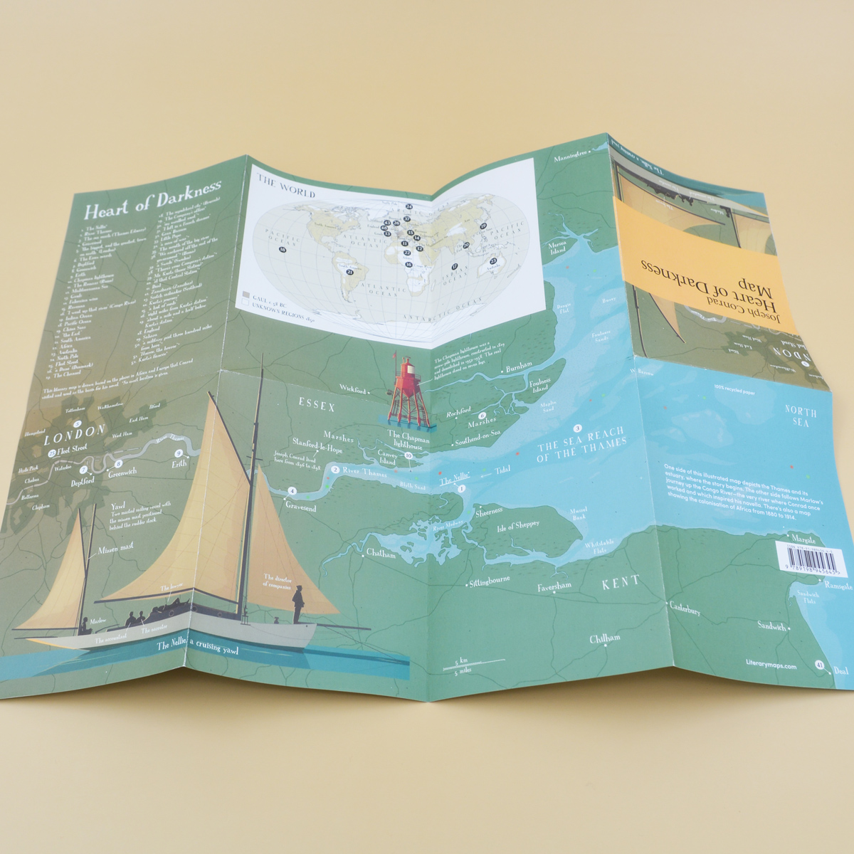
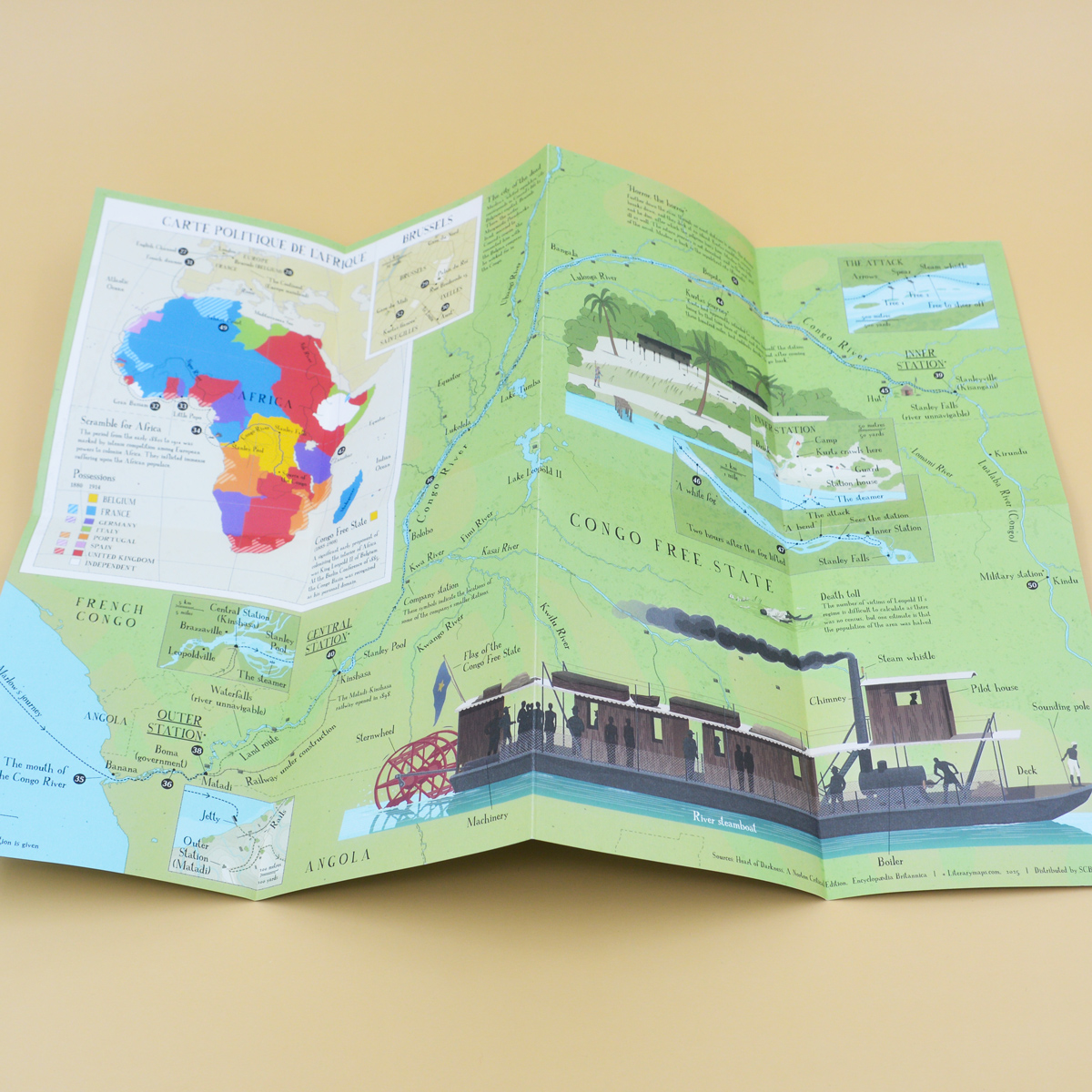
One side of this illustrated map depicts the Thames and its estuary, where the story begins. The other side follows Marlow’s journey up the Congo River—the very river where Conrad once worked and which inspired his novella. There’s also a map showing the colonisation of Africa from 1880 to 1914.
Falsad karta Mått (B/H/R): 420 / 297 mm
Tryck på båda sidor
Återvunnet papper
Maps for your favorite books!
"When reading, wouldn’t it be great having a map covering all the geographical places of the book? That’s what we do!
Literarymaps.com publishes detailed illustrated maps for classic books. The places in the book appear on the maps in the order they are mentioned in the text. If there are too many places to mention all, the most important places are highlighted. In some maps, the routes of the main characters are also shown.
Literarymaps.com is run by me, Martin Thelander who works as a map illustrator. Photographer is Erik Hagman or me unless otherwise stated.
We love literature and we love maps!"
- Fri standardfrakt vid köp över 600 kr
- Bästa presenterna till dig själv och andra
- Spara önskelistor inloggad på eget konto
- Säker betalning via Kustom Checkout
- Standardfrakt 69 kr
- Hemleverans 129 kr
Slå till nu - småskalig butik med små lager!
Beskrivning
Art.nr: 9789198945645